Entry
1861_oblique
by Alan Huguenot, CEPE |
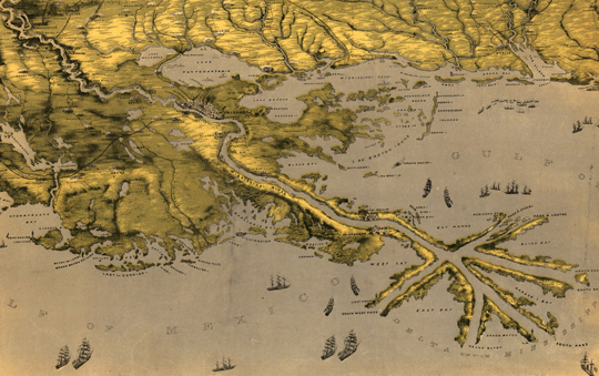
Although the major civil engineering that drained the New Orleans backswamps to allow for human habitation didn’t occur until 1900, another driver of geographical change was the need for shipping lanes. This 1861 map shows both elevated areas and major shipping channels. Image courtesy Richard Campanella.